As a supplier of total stations, I’ve witnessed firsthand the transformative impact these remarkable instruments have had on geodetic surveying. Geodetic surveying, which focuses on measuring large areas of the Earth’s surface considering its curvature, is crucial for numerous applications, from infrastructure development to environmental monitoring. In this blog post, I will discuss the various applications of total stations in geodetic surveying, highlighting their importance and efficiency in modern surveying practices. Total Station
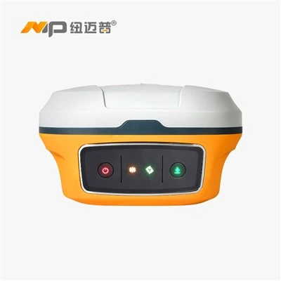
1. Mapping and Topographic Surveys
One of the most common applications of total stations in geodetic surveying is mapping and topographic surveys. These surveys are used to create accurate maps of an area, including its natural features (such as hills, valleys, and bodies of water) and man – made structures (like buildings, roads, and bridges).
Total stations are extremely precise in measuring angles and distances. By taking multiple measurements at different points on the terrain, surveyors can collect highly accurate data about the elevation and position of each point. This data is then processed using specialized software to generate detailed topographic maps. For example, in a large – scale urban development project, a topographic survey using a total station can provide planners with a clear picture of the existing landscape. This helps in determining the best locations for new buildings, roads, and utility lines, taking into account factors such as slope, drainage, and existing infrastructure.
2. Construction Layout
Total stations are indispensable tools in construction layout. Before the actual construction begins, surveyors use total stations to mark the exact locations of building corners, columns, and other structural elements on the ground. This ensures that the construction is carried out according to the design plans.
The high – precision measurement capabilities of total stations allow for accurate placement of construction elements. For instance, in the construction of a high – rise building, the total station can be used to set the vertical and horizontal alignment of columns with millimeter – level accuracy. This precision is crucial for the structural integrity of the building and for ensuring that all the components fit together perfectly. Additionally, total stations can be used to monitor the deformation of the structure during the construction process, helping to detect any potential problems early.
3. Monitoring of Structures and Deformation
Over time, structures such as bridges, dams, and tall buildings can experience deformation due to various factors, including settlement, seismic activity, and temperature changes. Total stations are used to monitor these structures’ deformation continuously.
Surveyors set up total stations at fixed reference points around the structure. Regular measurements are taken to track any changes in the position and orientation of the structure. By analyzing the data collected over a period, engineers can determine if the deformation is within acceptable limits. If not, appropriate measures can be taken to prevent structural failure. For example, in the case of a large dam, deformation monitoring using a total station can help in detecting early signs of instability, allowing for timely repairs and maintenance.
4. Engineering Surveys for Infrastructure Projects
Infrastructure projects, such as highways, railways, and airports, require detailed engineering surveys. Total stations are used in every stage of these projects, from the preliminary design phase to the final construction and monitoring.
During the design phase, total stations are used to collect data about the existing terrain, which is essential for designing the most efficient and safe infrastructure. For example, in designing a new highway, surveyors use total stations to measure the elevation and alignment of the proposed route, taking into consideration factors such as gradients, curves, and intersections.
In the construction phase, total stations are used for layout and quality control. Surveyors use them to ensure that the road, railway, or runway is constructed according to the design specifications. After construction, total stations are used for monitoring the long – term performance of the infrastructure, detecting any signs of settlement or deformation.
5. Geodetic Control Networks
Geodetic control networks are the foundation of all geodetic surveying work. These networks consist of a series of precisely measured points on the Earth’s surface, which are used as reference points for all subsequent surveys.
Total stations play a vital role in establishing and maintaining geodetic control networks. Surveyors use total stations to measure the distances and angles between the control points with high precision. This data is then used to calculate the coordinates of the control points accurately. The accuracy of the geodetic control network is crucial for ensuring the accuracy of all other surveying work in the area. For example, in a large – scale regional survey project, a well – established geodetic control network using total stations provides a reliable framework for mapping, construction, and other geodetic applications.
6. Environmental Surveys
Total stations are also used in environmental surveys, such as floodplain mapping, shoreline monitoring, and forest surveys.
In floodplain mapping, total stations are used to measure the elevation of the land and water bodies in flood – prone areas. This data is used to create flood inundation maps, which are essential for flood risk management and emergency planning. Along the shorelines, total stations can be used to monitor erosion and sedimentation processes. By repeatedly measuring the position of the shoreline over time, scientists can understand the rate and pattern of coastal change.
In forest surveys, total stations are used to measure the position and height of trees, which is important for forest inventory and management. This data helps in estimating the timber volume, biodiversity, and carbon sequestration potential of the forest.
7. Mining Surveys
In the mining industry, total stations are used for a variety of surveying tasks. They are used to map the underground and surface mines, determine the boundaries of the mining area, and monitor the stability of the mine workings.
For underground mines, total stations are used to measure the position and orientation of tunnels, drifts, and stopes. This information is essential for safe mining operations and for calculating the ore reserves accurately. On the surface, total stations are used to monitor the movement of the overburden, which can help in preventing landslides and other mining – related hazards.
Why Choose Our Total Stations?
Our total stations are designed with the latest technology to provide the highest level of accuracy and reliability. We offer a wide range of models to meet the diverse needs of different surveying applications. Whether you are working on a small – scale construction project or a large – scale geodetic survey, our total stations can provide you with the precise measurements you need.
Our products are user – friendly, with intuitive interfaces and easy – to – use software. This makes them suitable for both experienced surveyors and those new to the field. Additionally, we provide excellent customer support, including installation, training, and maintenance services.
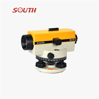
If you are in the market for a total station for your geodetic surveying needs, we invite you to contact us for a detailed discussion. Our team of experts is ready to help you choose the right total station for your specific requirements. We can also provide you with a quote and answer any questions you may have.
Concrete Testing Equipment Don’t hesitate to reach out to us. Contact us today to start a productive discussion about how our total stations can enhance the efficiency and accuracy of your geodetic surveying projects.
References
- Ghilani, C. D., & Wolf, P. R. (2006). Elementary Surveying: An Introduction to Geomatics. Prentice Hall.
- Moffitt, F. H., & Bossler, H. B. (1982). Surveying. Harper & Row.
- Wolf, P. R., & Ghilani, C. D. (2002). Geomatics, Second Edition: 3rd Edition. Pearson Prentice Hall.
Shandong Surveying Information Technology Co., Ltd.
As one of the most experienced total station manufacturers in China, we have world-leading production equipment and strong manufacturing capabilities. Please feel free to buy high quality total station for sale here from our factory. We also accept customized orders.
Address: No. 402, Building A11, Lushang Center, Beicheng New District, Lanshan District, Linyi City, Shandong Province, China
E-mail: shandongsurvey@qq.com
WebSite: https://www.nmpsurveying.com/
